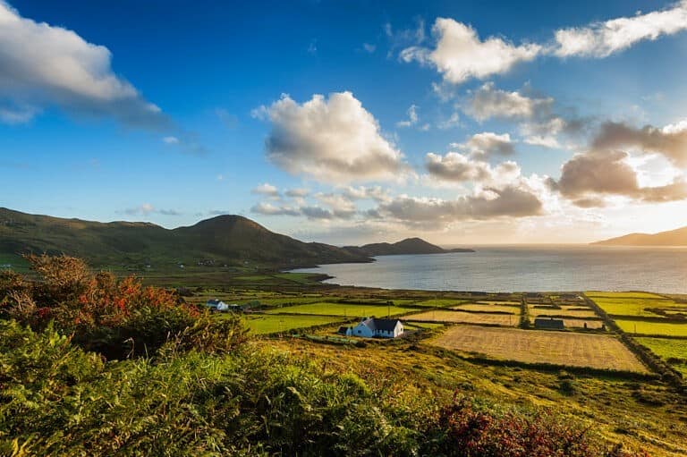
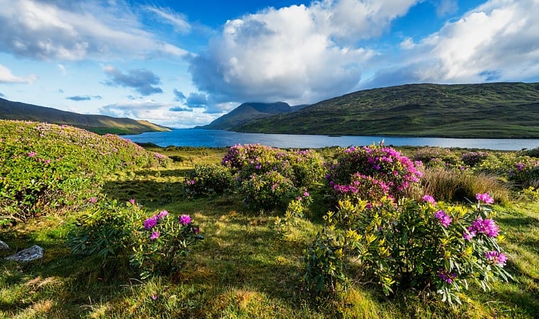
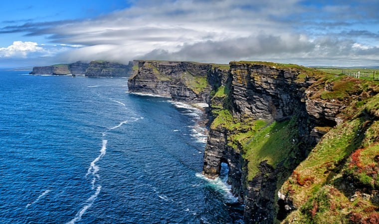
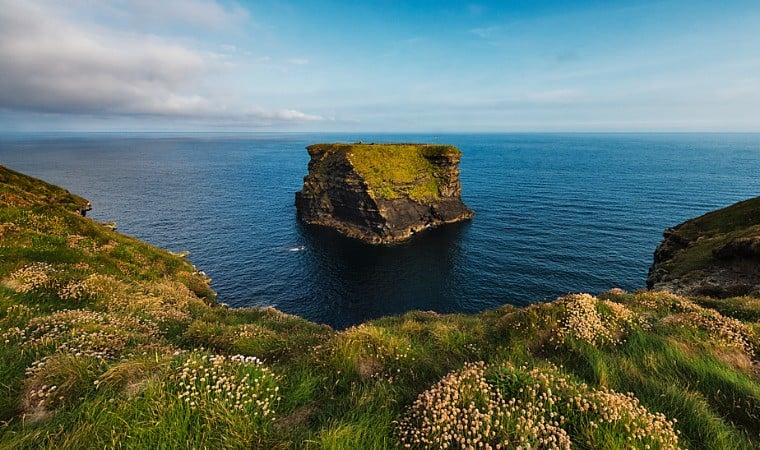
Wild Atlantic Way Route
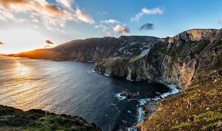
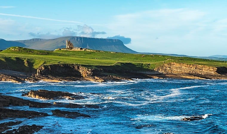
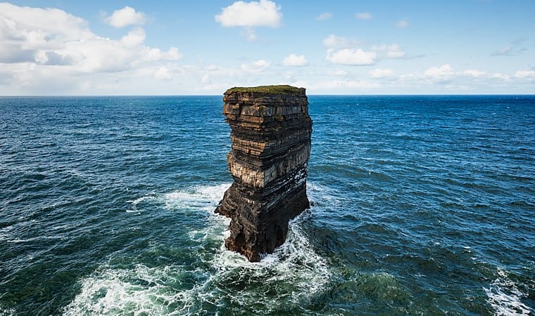
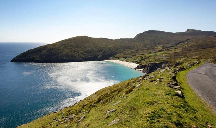
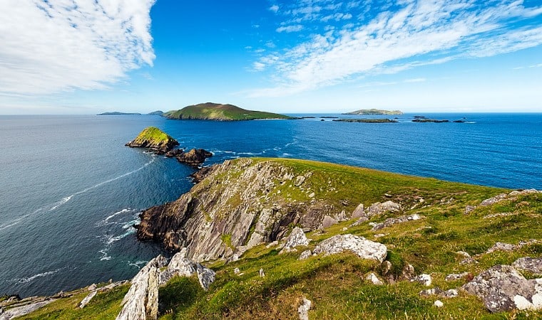
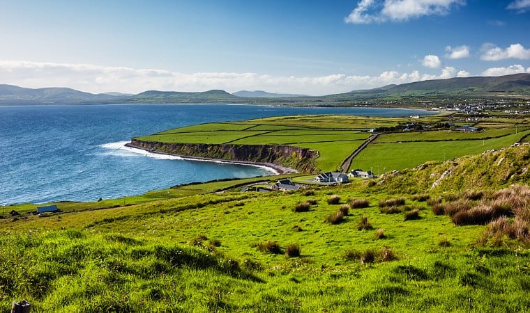
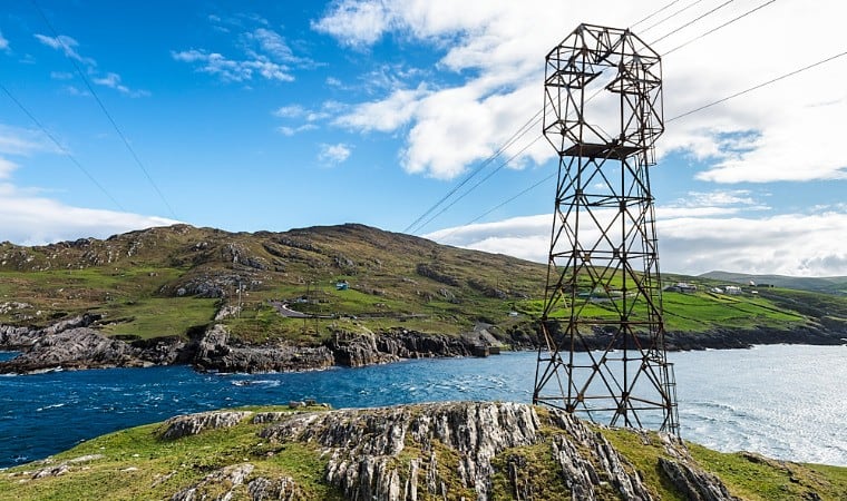
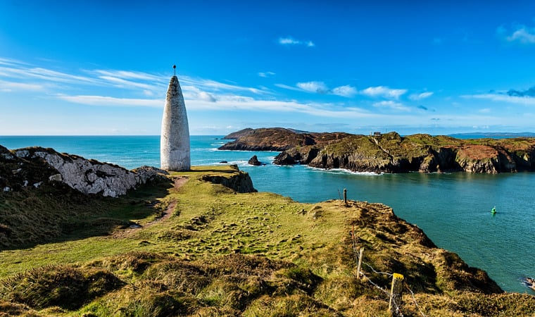
Ireland’s Wild Atlantic Way on the outer edge of Europe stretches along the west coast of Ireland. It begins on the Inishowen Peninsula in Co. Donegal and goes through the counties Leitrim, Sligo, Mayo, Galway, Clare, Limerick and Kerry, finishing in Kinsale, County Cork. The route which is over 1600 miles (2600 km) long is divided into 14 stages for easier orientation:
The complete Wild Atlantic Way route in 14 stages
14 stages of the Wild Atlantic Way

Latest posts
Browse the latest articles from our Wild Atlantic Way travel blog:
-
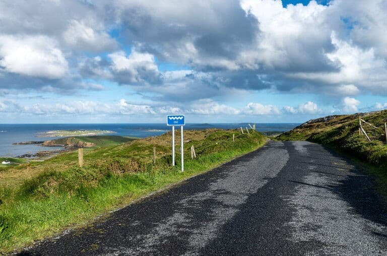
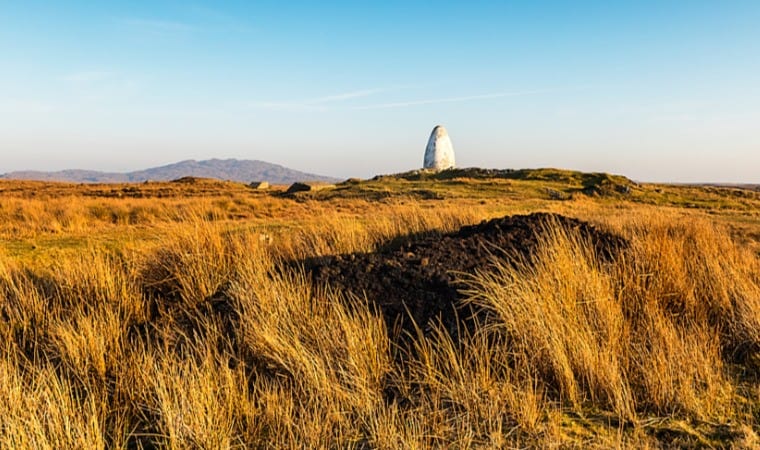
Discovery Points of the Wild Atlantic Way
Along the Wild Atlantic Way there are numerous Discovery Points, which are pointed out by signs with the WAW logo.
-
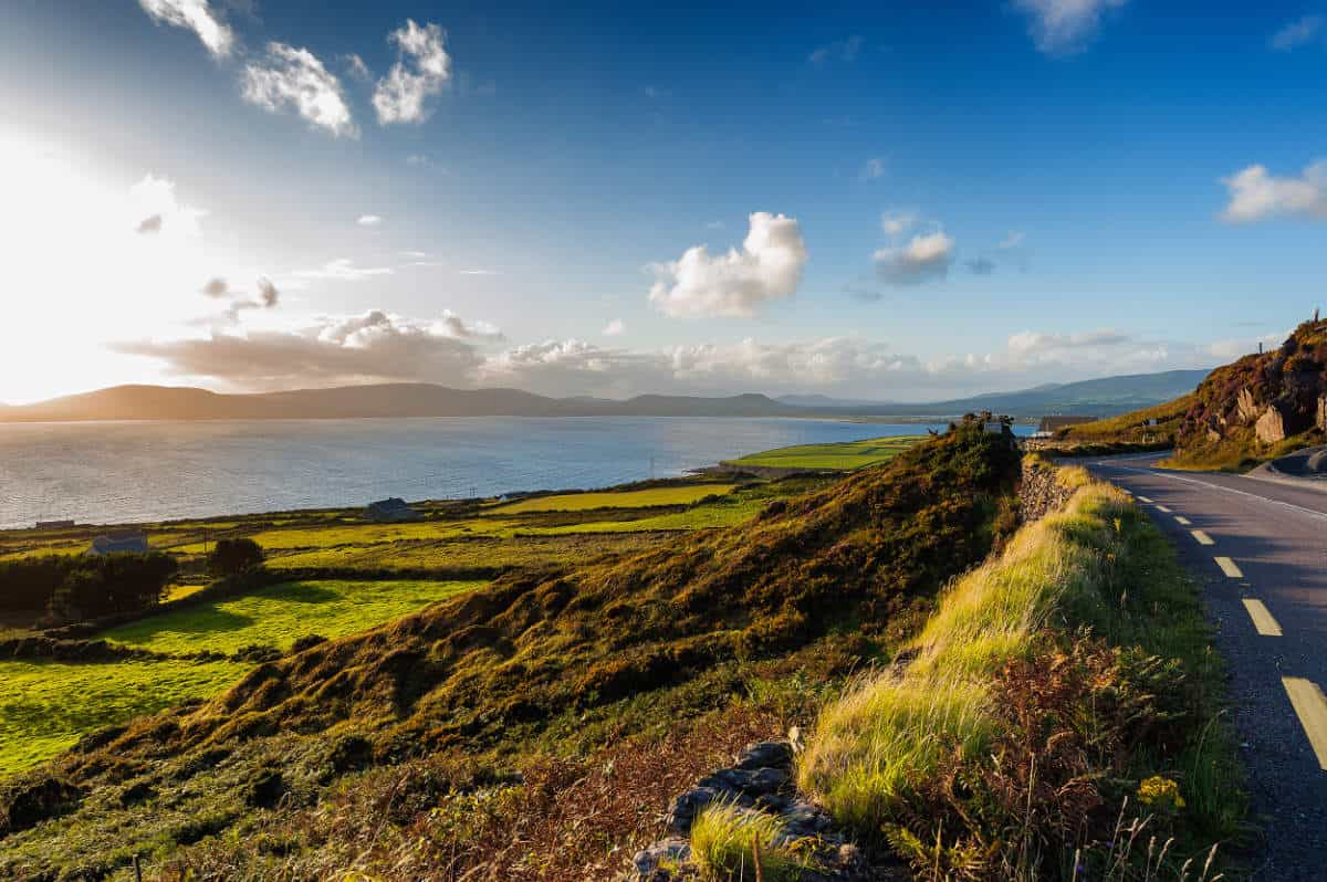
Stages of the Wild Atlantic Way
Discover the 14 stages of the Wild Atlantic Way. You can take the whole trip in one journey or explore the stages one by one.
-
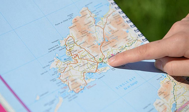
Navigating on the Wild Atlantic Way
You don’t necessarily need a map to explore the Wild Atlantic Way, since there are more than enough road signs to help you to keep on track.